For the first time in months – many months – I walked in Mill Creek Ravine (on Monday, after work). I totally neglected it during the winter, and most of autumn. Sorry Mill Creek. You know you are still my favourite ravine.
Hello I love you, Mill Creek Ravine
Since the last time I was down there, many things have changed, and not for the better. First surprise, Wild Earth Bakery is closed, and so is Wild Earth Foods (formerly IGA), my grocery store for two decades. How very sad. I feel like I dodged a bullet by choosing not to move back into that area, but I feel very sorry for those who still live in this beautiful, walkable neighbourhood two blocks from Mill Creek. Although the bakery had many incarnations over the years (it was a pharmacy in 1990 when I moved there, and then a video store), it became a real meeting spot for locals in the ten years of its existence. I have many fond and delicious memories of the trail mix cookies that I would often treat myself to after long walks in Mill Creek. Developers are building a couple of high-rise towers on that lot, so the small businesses are not wanted on that inevitable voyage.
After that shock, I carried on through the familiar houses on 89th, but did not see Godzilla in his pot, where he should be this late in spring. Did his owners move too? Jesus Christ.
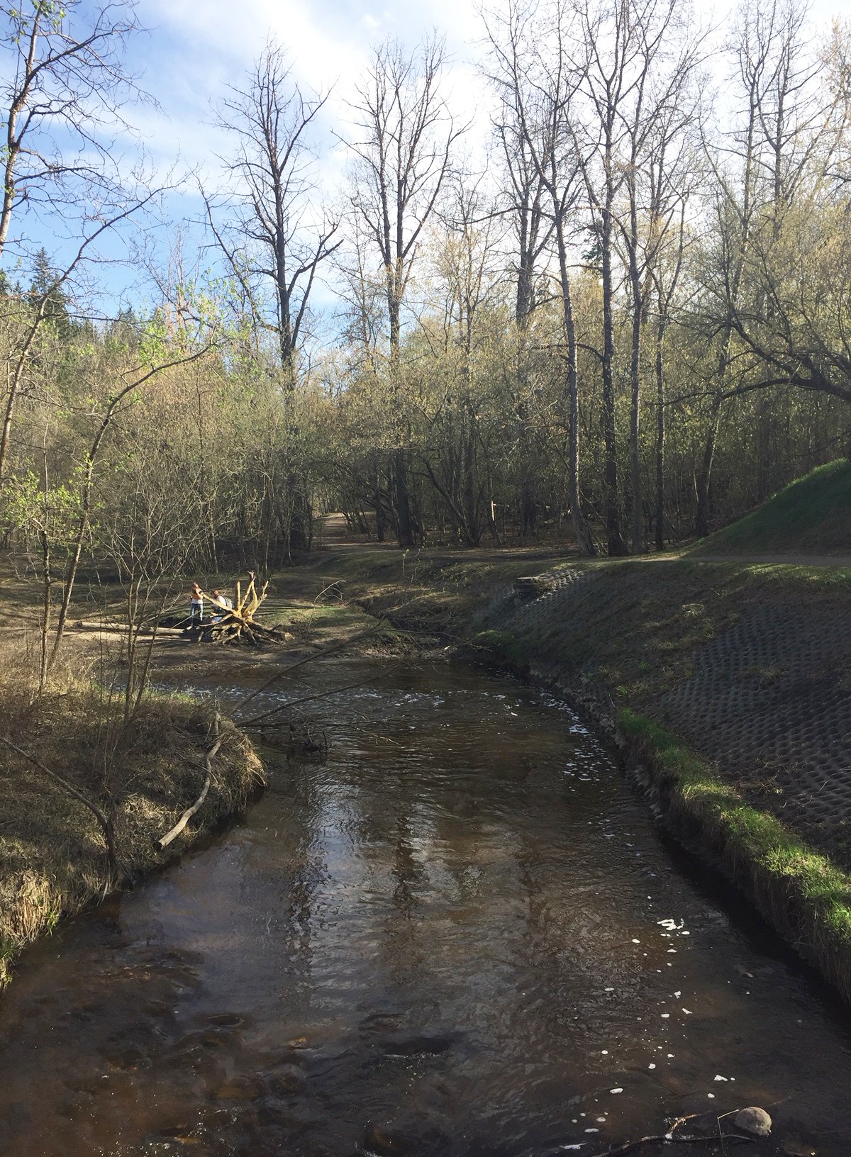
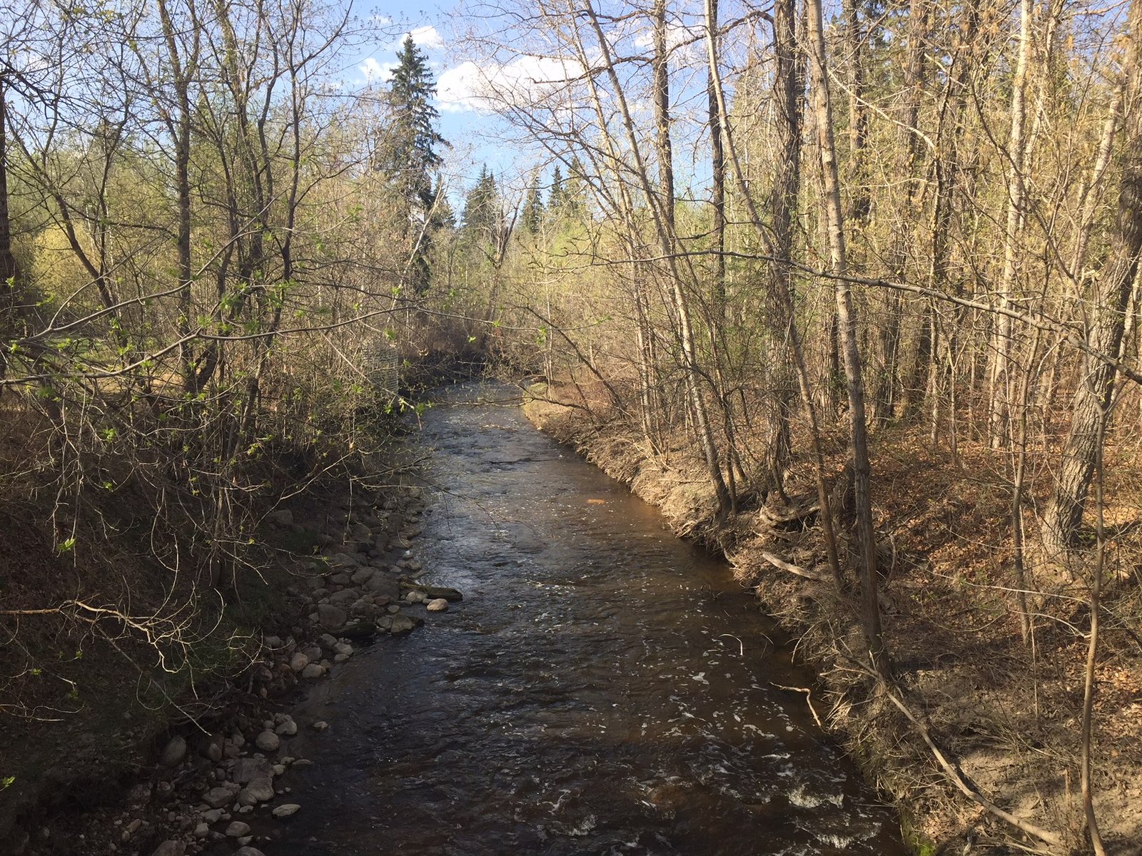
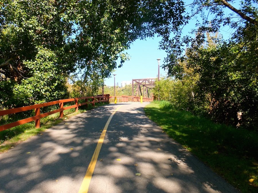
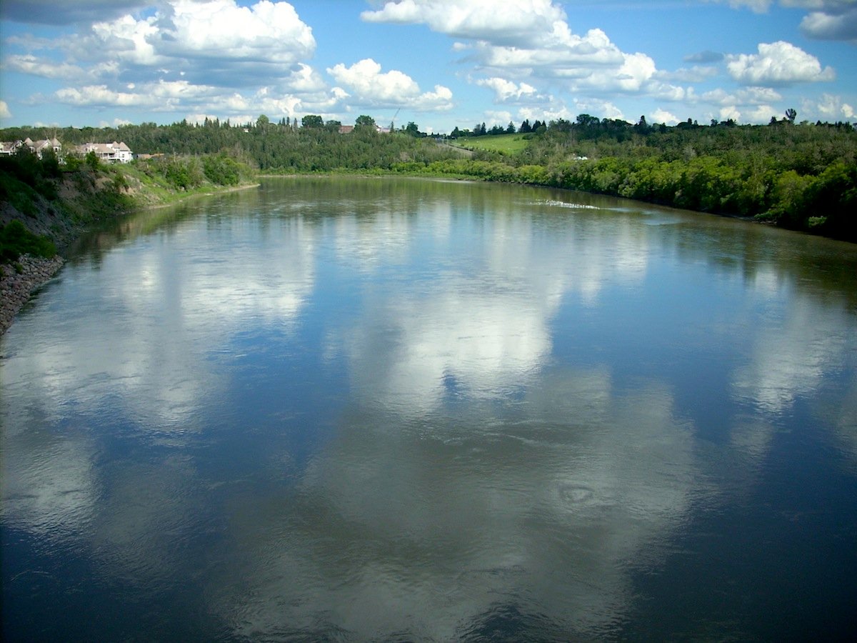
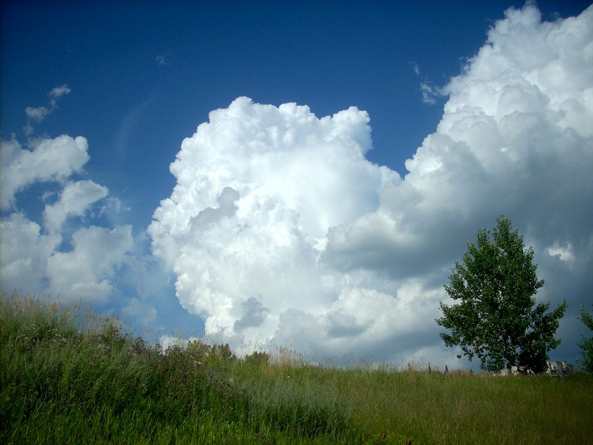
Mill Creek Ravine (south) is thankfully the same, as far as I can tell. Still beautiful. Still deeply familiar. Also, very dry. There are lots of tiny green things that will become big green things once we get some more rain. The creek is not too low, so we’re not in a drought, but the dominant colour is still brown.
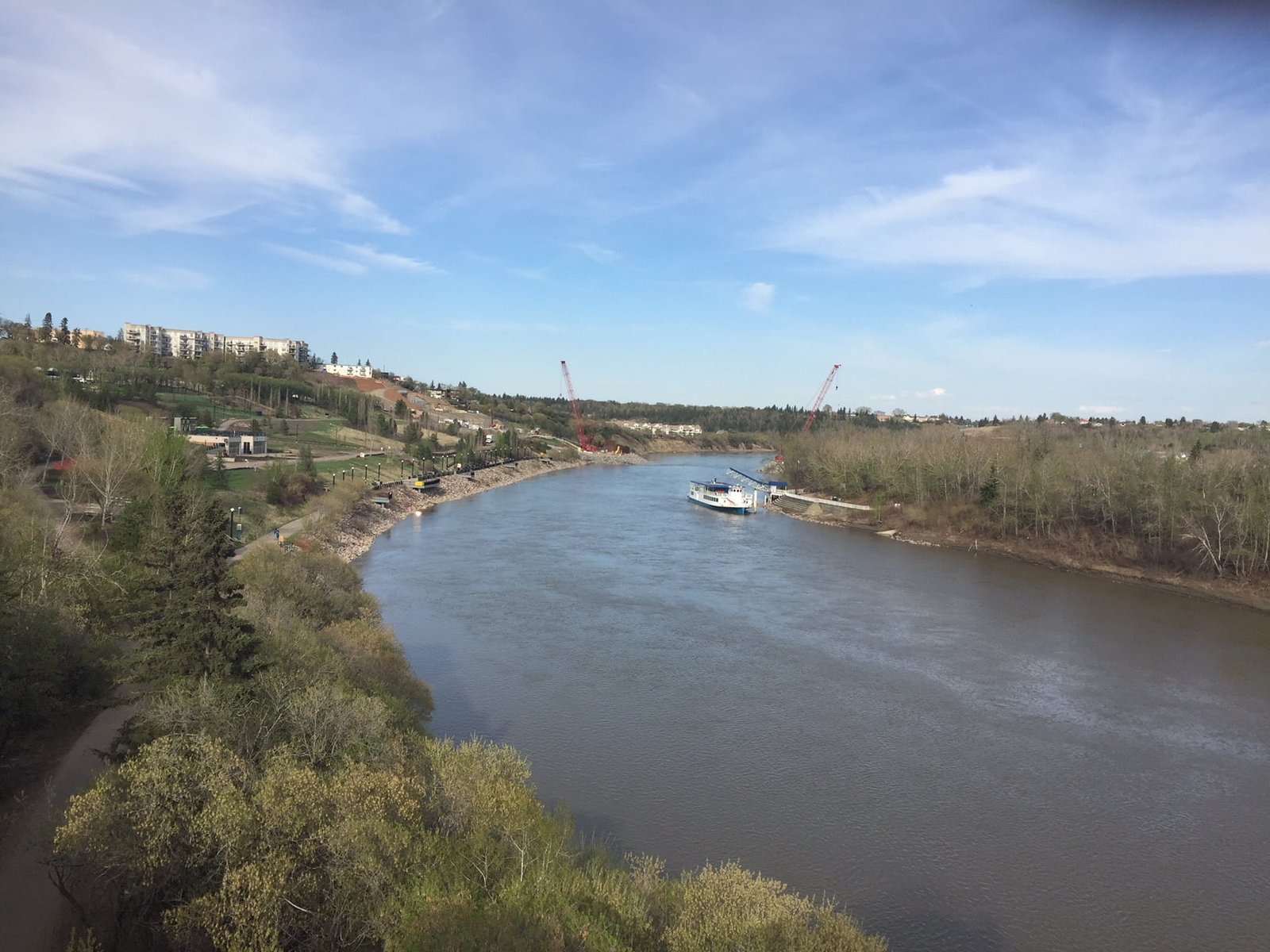
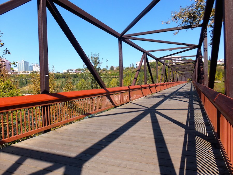
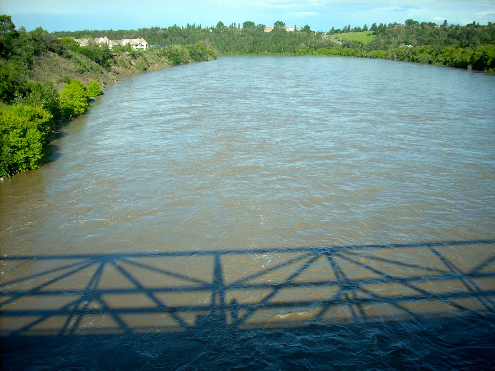
From the bridge, facing southFrom the bridge, facing north
Once I crossed the pedestrian bridge over Connor’s Road, that’s when things started to change BIG TIME.
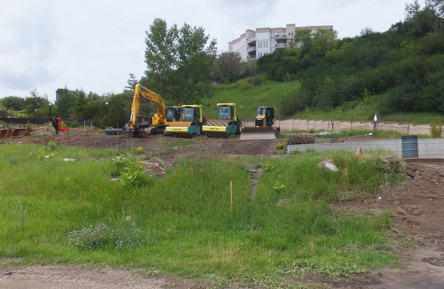
Lots of trees cut down on both sides of Connor’s Hill, and there is already some sort of structure below the hill beside the Muttart, probably the LRT station. No more running down, or up that hill. And so the only path left is around the ski club, through the Muttart parking lot, and up the pedestrian bridge over 98th. But only so far. The path has been narrowed and curved, so instead of walking into a canopy of green at Henrietta Muir Park and the Cloverdale bridge, it’s a construction site leading commuters back onto 98th.
It was jarring to see the site. I won’t go into what a devastating loss I feel looking over at all that ugliness, but suffice to say it was pretty awful. And in my mind, and many other minds, completely unnecessary. But, it is done.
Instead of a canopy of trees, what now greets pedestrians at the north end of the 98th street footbridge
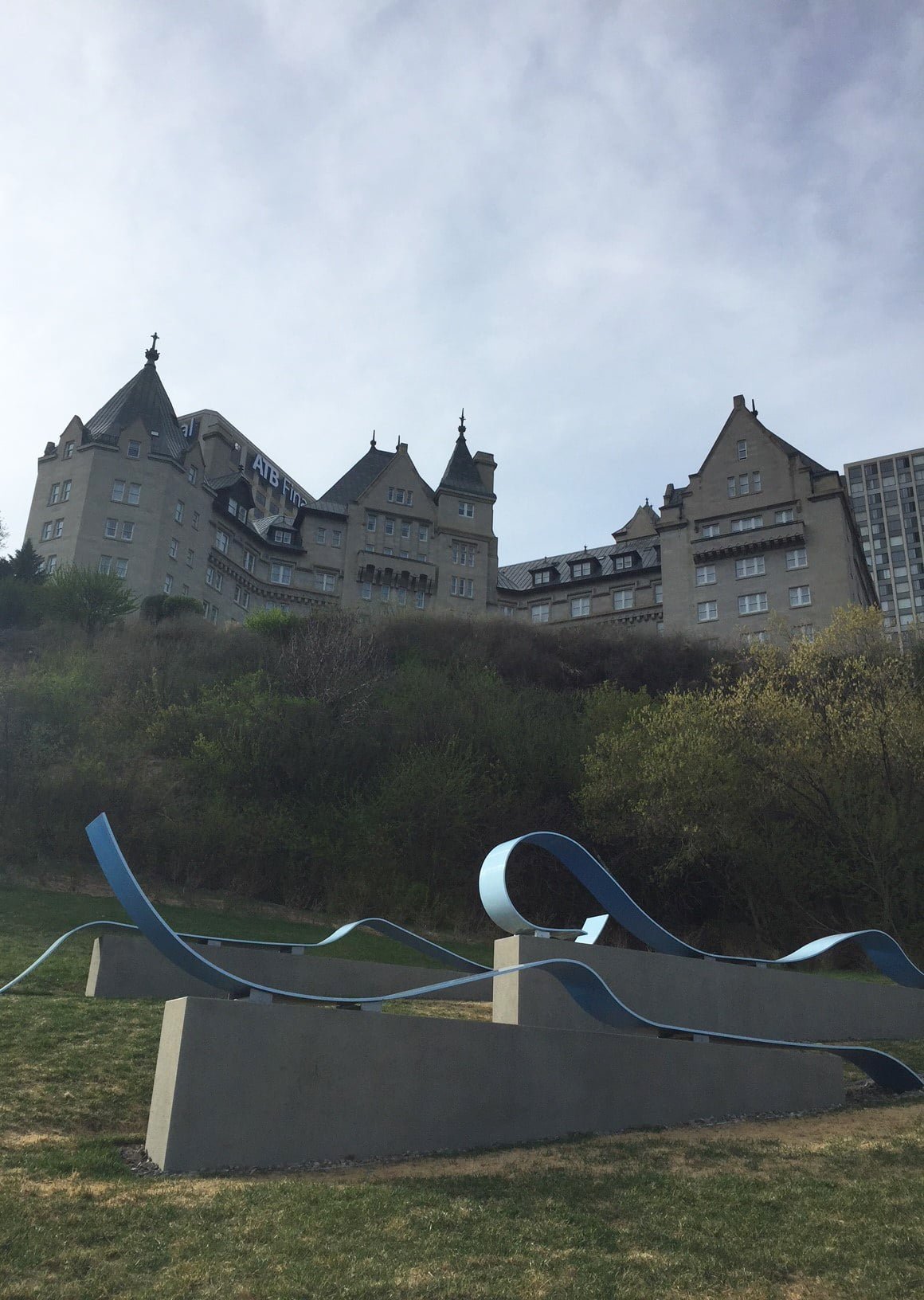
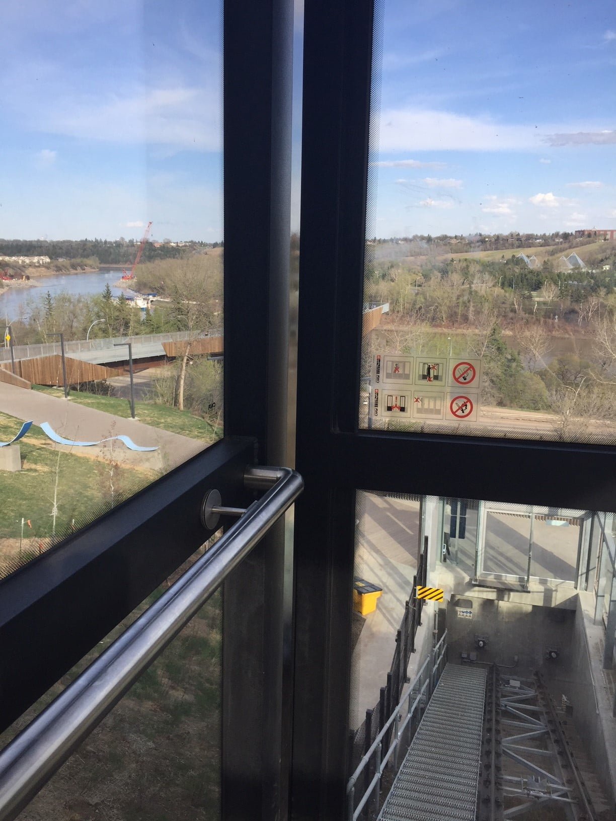
After that, I dove back into the woods at the River Queen entrance, walking along the lightly verdant trail until I reached the Low Level Bridge. At this point, I had been walking for more than an hour and I was tired, hot and deflated, so I decided to treat myself to my first ever ride on the Funicular.
The Funicular is another thing that didn’t need to happen, but I enjoyed the ride and especially the views. As it only goes half way up (or down, depending on your orientation) I’m not sure it achieves the true accessibility to the river valley trails that was its original purpose. And, the elevator to the funicular wasn’t working, so in the end, I still walked up a bunch of stairs, but only half as many as I would have walked if this fancy escalator didn’t exist.
Walking up to the funicularFunicularing
I miss my old river valley. Thankfully, it’s a long river, with many points of interest. But this area was really special to me. I knew it well. And now it’s gone.
Tom and I walked over the Cloverdale footbridge for the last time yesterday. The City is closing it down on Monday; its destruction nigh.
I have written extensively in this blog about the south east LRT (now called the Valley Line) expansion into the river valley. I’ve attended public forums, sent letters to the Edmonton Journal, made every effort to seek information and I’ve joined forces with the good, and much more eloquent folks of the Save the Footbridge lobby. I’ve considered all sides and reached a single conclusion:
To quote Groucho Marx, I’m against it.
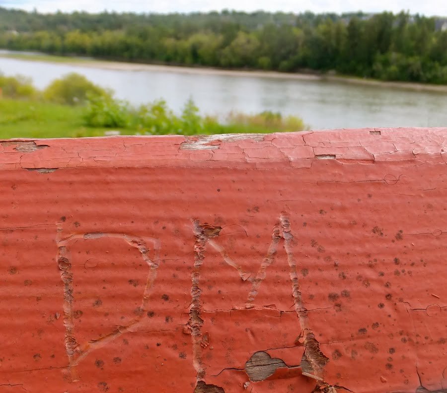
DM on the bridge. Vandalism seems trivial for a doomed bridge.
From an environmental and aesthetic perspective, gouging into our beloved and heavily PR’d river valley makes no sense. In terms of transportation, the use of existing corridors seems both financially responsible and environmentally sound. Everything I’ve read about BRT (or Bus Rapid Transit) suggests, at the very least, we need to take a sober and genuine second look at light rapid transit.
“If you’ve gone part way down the incorrect path, that’s regrettable—but not as regrettable as going all the way down the incorrect path.”
These words were spoken by Mayor Ivor Dent in April of 1972. City council had just voted to put the brakes on an invasive transportation plan which would’ve plowed a freeway through the MacKinnon Ravine (Vue Magazine).
That was then.
Rose garden on the north end of the bridge two years agoApple tree in the rose garden a few years agoRose garden now…
There is no energy on the part of City Council to reverse or even reconsider this decision, which appears to have been a fait accompli from the beginning.
With all due respect to the bridge, it’s not the steel and wood structure that I will miss. It’s not a beautiful bridge. It’s utilitarian, and there is at least one other like it in the city (in the Goldbar area). However, the location of this bridge, in the heart of the city and the river valley, makes it irreplaceable. Yes, in four years (probably more, given the transportation department’s ridiculous track record), this area will see a new bridge, maybe even a nice bridge, but it will serve the southeast LRT, not the pedestrians who use it, not the people who live around it, and certainly not the nature that surrounds it.
Gone, the peace of the central river valley.
Gone, the unobstructed view of the river valley, with the vast and quiet expanse of sky above.
Gone, the trees, plants and wildlife that made this area their home, especially the canopy of poplar trees at the south end of the bridge. In the middle of summer, it was like walking into a lush and secret grove. In the winter, like a Gorey landscape.
south end of bridgesouth east end of the bridge, now
Gone, the City’s commitment to The Way We Green river valley strategic plan.
Gone, the rose garden in Louise McKinney Park.
Gone, the Botanical Society gardens on the Muttart grounds.
Gone, the best commuter bridge for pedestrians in the city. A meeting place, a viewing place, and an iconic and beautiful Edmonton place.
There’s not much more to say. This bridge and the area around it has given me so much over the last 20+ years. Nothing I could say could ever repay the grace and beauty I’ve received. If it’s possible to call a thing a friend, the Cloverdale pedestrian bridge was a friend.
Goodbye friend.
A list of every blogpost where I’ve mentioned the Cloverdale Bridge by name in Donna’s River Valley (which still does not even come close to capturing all the moments I’ve spent on the bridge).
Spent a couple of hours last Friday in Mill Creek Ravine, with the intention of ending my walk in Louise McKinney Park. More than a wish to observe autumn’s gentle appearance in the ravine, I wanted to follow the river valley trail that leads to the Cloverdale Pedestrian Bridge at the edge of the North Saskatchewan River. I wanted to hear my footsteps on its wooden spans and take in the breath-quickening view, like I’ve done a thousand times before. To reflect on its importance to me and to the people who use the bridge everyday. And also, to the two years of public consultation on a SE LRT extension that will see the destruction of this bridge and a huge swath of parkland south of it, including the trail I had just followed from Mill Creek Ravine through the Muttart Conservatory grounds and Henrietta Muir Park. On September 11th, a forum specific to the downtown/Muttart corridor concluded with the attendees unsuccessful attempt to urge city councilors to reconsider the route through the North Saskatchewan River valley. It is a done deal, and it has always been a done deal. A shortfall of millions has delayed the project a year or two, but sometime in the near future, a devastation will occur in the river valley; an irreparable insult to all of us who truly value this quiet, well-used, and exceptionally beautiful green space in Edmonton’s downtown core.
Louise McKinney Park
When I started walking in this area 20 years ago, there was virtually no development in Louise McKinney Park. It was a hill with so many wildflowers (and more than a few colourful weeds) it made this reluctant painter take out her brushes. When the trails were laid and the flowers uprooted, I sprinkled seeds on the grass. Year after year, city councilors reimagined and reconfigured Louise McKinney Park, as if a peaceable stretch of bee-loud wildflowers and trail below our urban centre wasn’t enough. A clown-car of development followed, filling the tiny park with an array of attractions which cluttered but did not detract from the surrounding flora and fauna we are so ridiculously blessed to have in such close proximity to downtown Edmonton. And then it was decided that this park could be of further service as an exit point for the Southeast LRT, right through the tiered rose garden and apple trees.
Louise McKinney Park apple trees
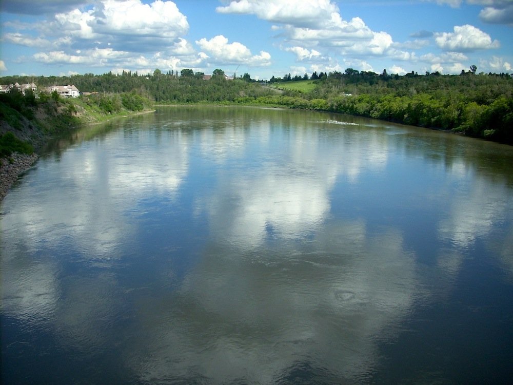
The Cloverdale Pedestrian Bridge, attached to the east end of Louise McKinney Park, is like an arm, languidly stretched across the river to another park, another trail. More than a bridge, it is a neighbourly promenade enjoyed by runners, walkers, cyclists, lunching urbanites, surrounding communities, musicians, dogs, photographers, painters, and a goose who lays her eggs year after year on a pillar below the north end of the bridge. It is of no use to the city planners, and so, in a year or two, it will be gone. A new bridge will be built in its stead to facilitate a slick and speedy progression of a train from one side of the river to the other, in stark contrast to the current bridge. The Cloverdale Bridge is no beauty. Rather, it is an unobtrusive, open-beamed span of wood and steel, with spectacular views of gleaming cityscape, riverbank, and rolling parkland. The creak and sway of its wooden boards is a soothing, natural thing, reminding us to be present in our thoughts, to slow our pace, if just for a moment.
There is nothing natural about the rumble and vibration of a train slicing through the river valley at five minute intervals.
The doomed Cloverdale Pedestrian Bridge
A heap of environmental insults await the Muttart Conservatory grounds, Mill Creek Ravine and Connor’s Hill if the SE LRT extension receives full funding and ground is broken in Louise McKinney Park. In the days following the September 11th meeting, I have discovered that I am not alone in my love for the bridge or in my barely contained panic over its impending demise. To my surprise, there is a Facebook group Save the Edmonton Footbridge, set up to raise awareness of the proposed fate of the Cloverdale Bridge and the adjacent river valley corridor. There is also a petition circulating to “...request that Edmonton City Council respect bylaw 7188 (North Saskatchewan River Valley Redevelopment Plan), and reconsider other LRT Southeast-West options that save the Cloverdale-Louise McKinney Footbridge and preserve our River Valley.” Of course I signed. In spite of the 600+ signatures, On September 18th, City councilors approved the route.
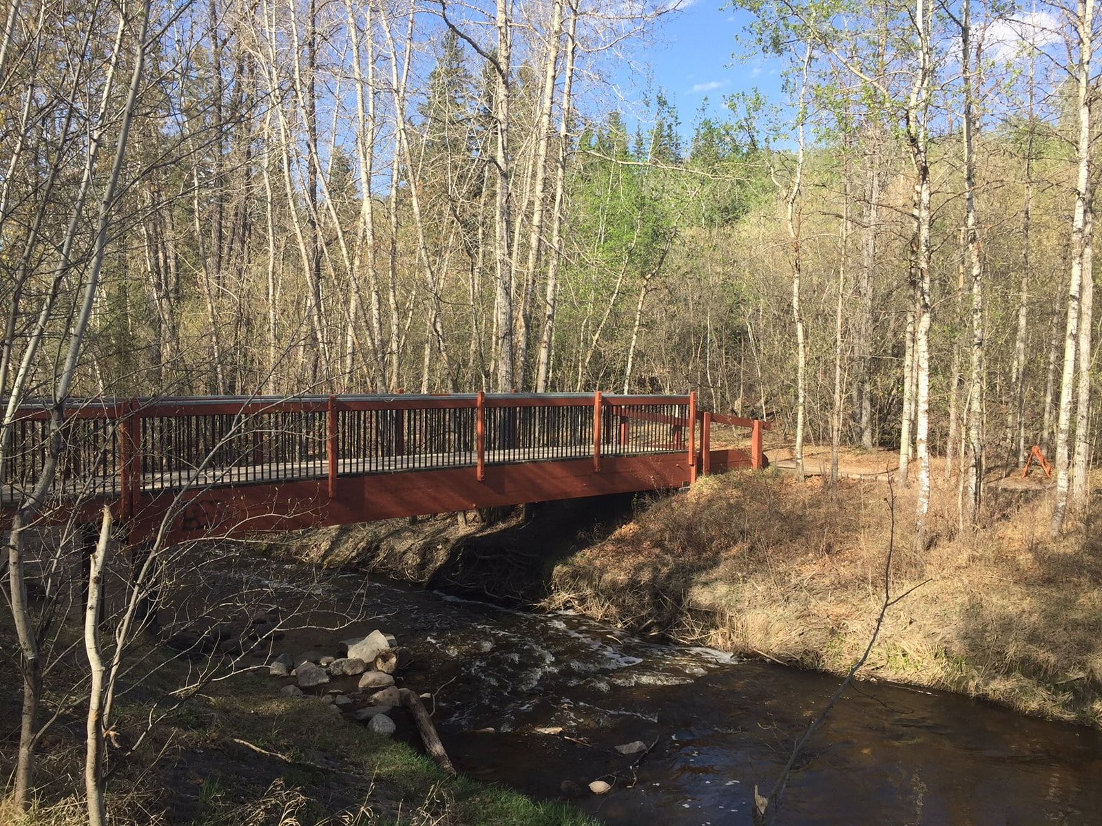
A soon to be demolished trail into Mill Creek Ravine along Connor’s Road
Speaking of bylaws, in my slow (very slow) perusal of the 500-plus page Valley Line Environmental Assessment Report,I found it interesting that the City Manager will be seeking an exemption to Bylaw 2202, the rather pesky rule that restricts disturbances in natural areas. As for the Environmental Assessment Report itself, the diligent folks at the Save the Footbridge Facebook site unearthed another questionable manoeuvre courtesy of our esteemed City representatives: “According to Edmonton’s Guide to Environmental Review Requirements, environmental assessments are to happen in the planning phase, when ‘options are being investigated.’ This is so the findings can actually influence selection. However, the City commissioned the Valley Line Environmental Assessment three years after they chose a route.” I gotta wonder, did the selection then influence the findings?
The report includes 92 pages of suggested mitigation measures, with the following proviso: “Some impacts cannot be fully mitigated owing to the size of the project area and the likely four-year duration of the construction period; however, these residual impacts are generally limited to the construction phase of the project.” Not so. Residual impact is a relative term. Slope failure, soil erosion, land and vegetation disturbances ~ these things can be mitigated, in time. Fundamentally changing the experience cannot. Irreversible harm will be done. The river valley, in this area, will not be the same. For some, in particular the Transportation Department, this is not a hill to die on, pun intended. As I have learned, my values rarely match those of the City Council and its administrators, although I do support the expansion of the LRT. Mass transit is a valuable investment, and environmentally, a much better option than bolstering car culture, but at the same time, preservation of our green spaces must be part of, if not lead the conversation. Unfortunately, just because the City of Edmonton exalts the river valley in its promotional materials does not mean it won’t turn around and contravene its own bylaws and supposed values and carve up the longest stretch of connected urban parkland in North America like a turkey.
Councilor Ben Henderson stated: “There is no way to retrofit a LRT through a city without there being some negative consequences.” Got it. NIMBY. But let’s not be glib about those consequences. Some people, like me, like the residents of Cloverdale and Riverdale, and the thousands of Edmontonians who value this peaceful and bountiful stretch of the river valley believe the Valley Line route is unacceptable, and in violation of municipal bylaws.
The existing Riverdale corridor
Initially, three corridors were considered: High Level/Whyte Avenue, Dawson Bridge/Riverdale, and Connor’s Road. Inexplicably, the Connor’s Road route (via Louise McKinney Park, Henrietta Muir Park, the Muttart and Gallagher Park) was chosen because, “…this corridor would require less disturbance as it traverses less parkland.” Really, I mean really? In Riverdale, there is already an existing road from downtown to the river valley, an existing shared car/pedestrian bridge, and…oh wait – The Riverside Golf Course. Sorry Connor’s Hill, I guess the ‘negative consequences’ of gouging a chunk of golf course outweighs that of ski hill. Edmonton Ski Club, take note.
There are endless ways to feel bad about this. At best, it’s a clash of values, at worst, a failure of imagination and stewardship. Ultimately, I’d rather write about what I love, not what I fear. Thankfully, there is still much to love in Edmonton’s River Valley, including, for now, the Cloverdale Pedestrian Bridge and everything around it.
One last note: Public protest can make a difference. See this article regarding the MacKinnon Ravine.